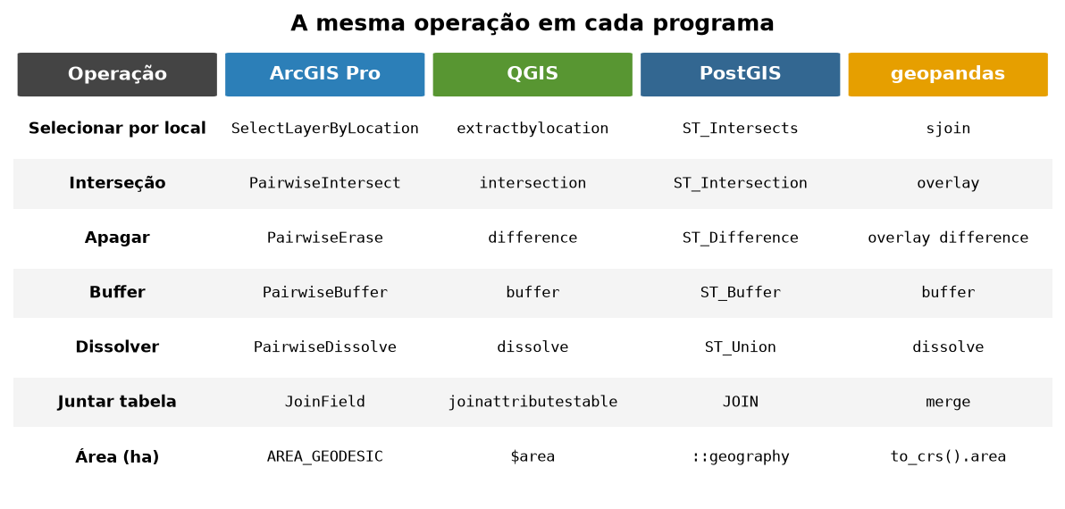
From ArcMap to QGIS: the same tool in every program
Fundamentals
ArcMap
A table of equivalent tools in ArcMap, ArcGIS Pro, QGIS, PostGIS and Python (geopandas), and what changes when you update old arcpy scripts.
October 29, 2026
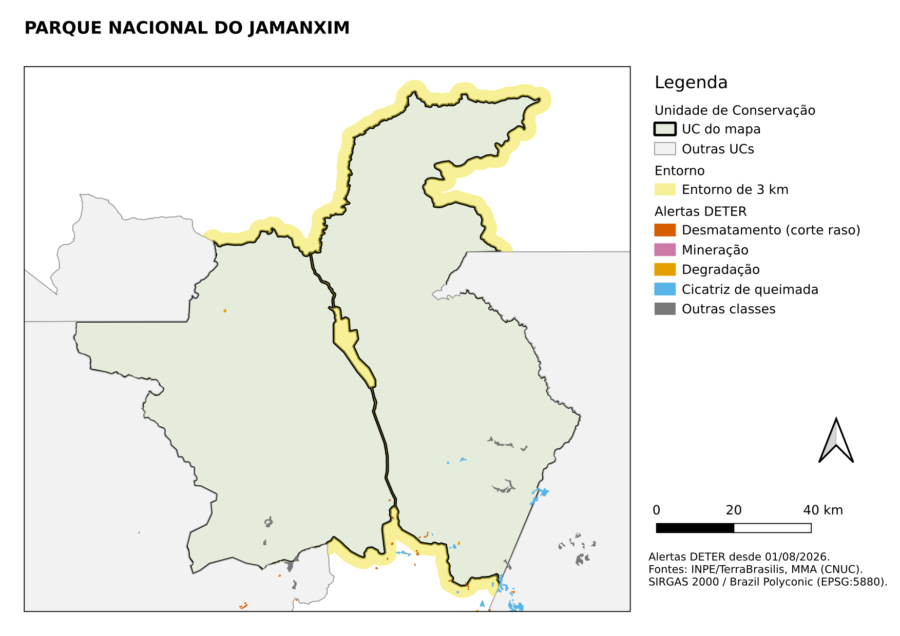
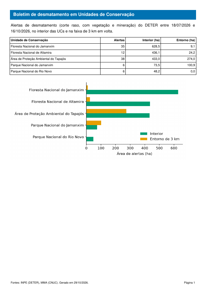
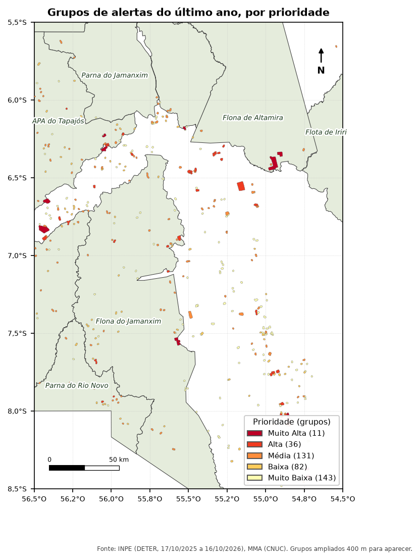
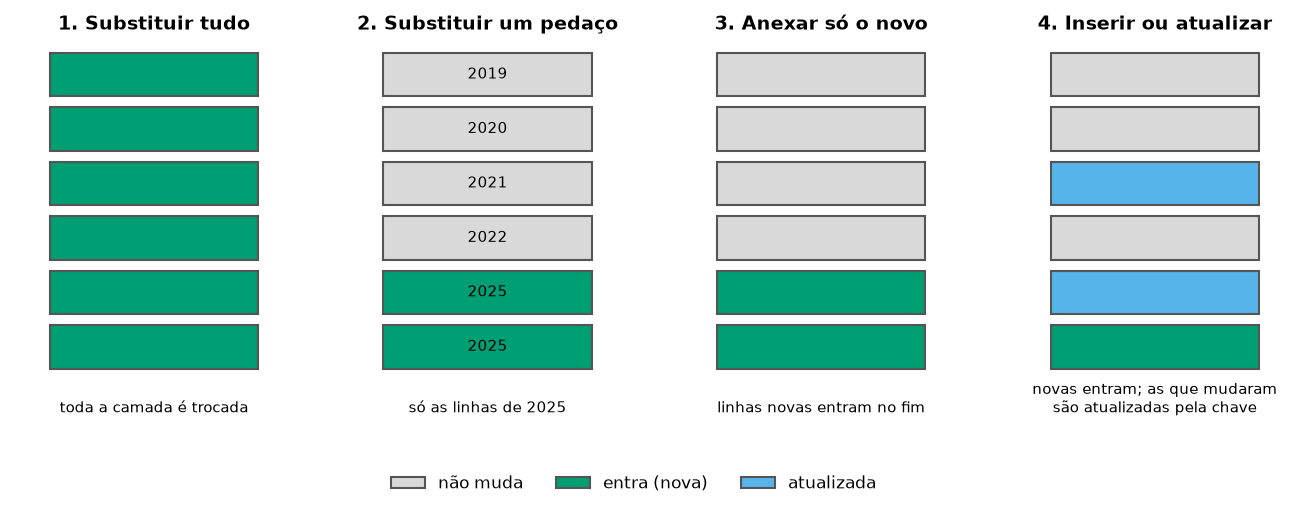
Everyday problems for anyone monitoring deforestation, fire and protected areas in Brazil, each one solved in ArcGIS Pro, QGIS, PostGIS and Python, with open data and code you can copy. Pick your program in the tabs of one article, and the others open on it.
How the articles were made and where to download the data → Versão em português
@misc{untitled,
  author = {},
  publisher = {Hendesson Alves},
  title = {Articles},
  url = {https://hendesson.github.io/en/articles/},
  langid = {en}
}